

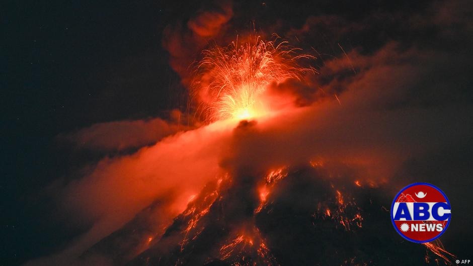
Kathmandu— On Tuesday, Guatemala's disaster management agency CONRED ordered evacuations for several towns near the highly active Volcan de Fuego after it erupted, sending columns of lava, gas, and ash soaring up to four kilometers (2.5 miles) high. The volcano is located approximately 40 kilometers southwest of Guatemala City, with ash clouds reaching as far as 60 kilometers westward, potentially disrupting air traffic in the region.
Evacuation Orders Issued
CONRED issued an orange warning, its second-highest level, advising residents to move to emergency shelters outside of the volcano's path. Schools have been closed and some businesses temporarily shuttered in response to the eruption. The agency stressed that people should be extremely cautious within a 10-kilometer radius of the volcano.
Hikers Disobey Safety Bans
Despite safety warnings, local media reported that hikers continued to climb nearby Acatenango volcano to capture videos of the eruption for social media. This disregard for safety measures has raised concerns among officials and locals alike.
(With inputs from DW)
Originally published on abcnews.com.np.






प्रतिक्रिया दिनुहोस्