
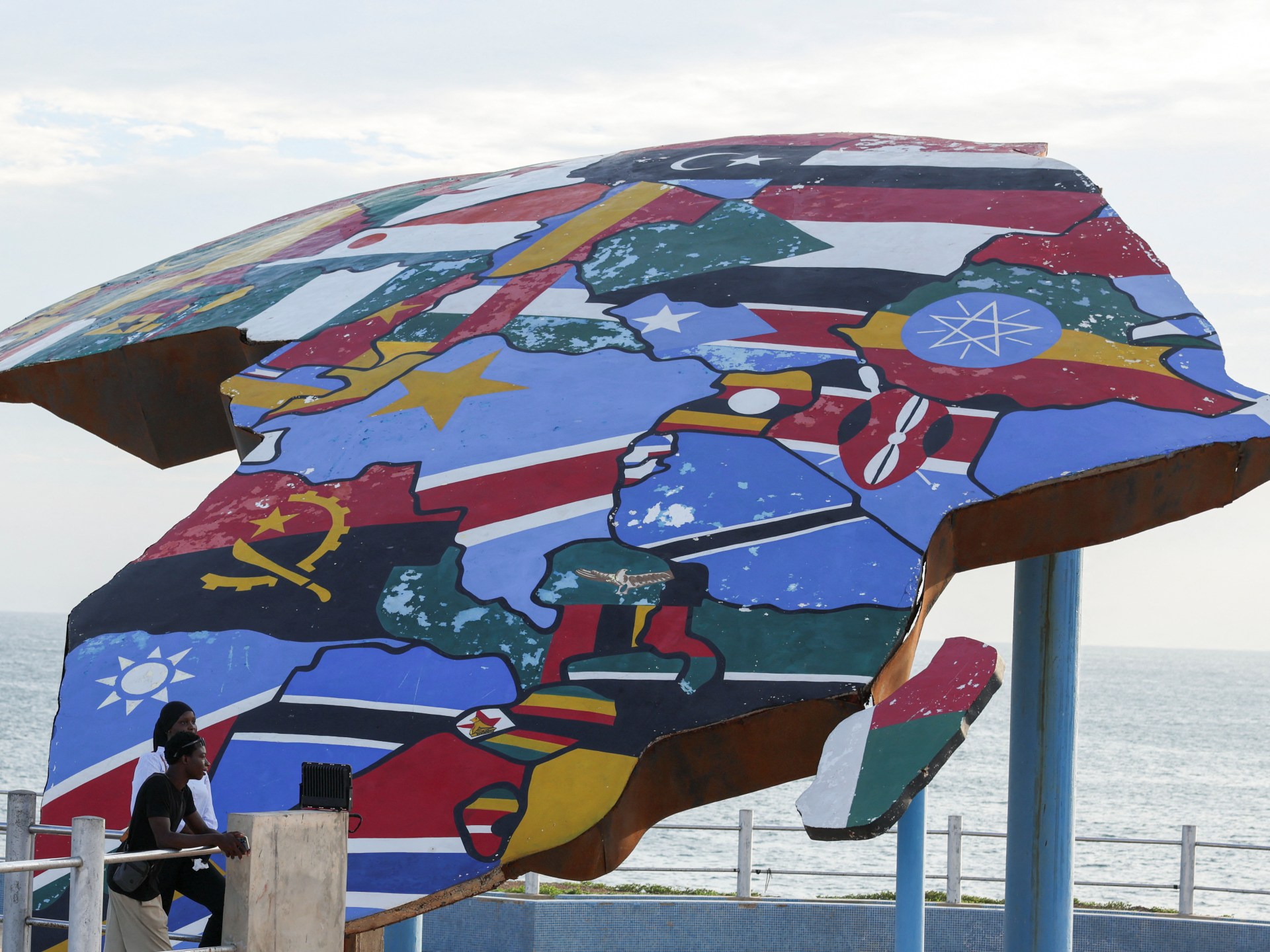
Kathmandu— The United Nations General Assembly has adopted a resolution sponsored by African Union member states and the Bahamas to replace the widely used Mercator map with a more accurate representation of global geography, addressing a colonial-era distortion that has visually shrunk Africa for 450 years and influenced global perceptions in media, education, and policy.
Resolution Adoption and Global Support
The UN General Assembly passed the 'Correct the Map' resolution with a vote of 164-1, six abstentions, marking a significant step in addressing cartographic inaccuracies. Togo, leading the African Union's campaign, spearheaded efforts to limit the Mercator projection's use, emphasizing its historical role in distorting Africa's size.
The resolution promotes the Equal Earth projection, which more accurately portrays continental sizes, though it is not legally binding. The Togolese ministry clarified that the Mercator projection will remain valid for navigation purposes, stating it "remains fully suited" for maritime and aerial use.
Criticism of Mercator Projection
Developed by Flemish cartographer Gerardus Mercator in the 16th century, the Mercator projection distorts landmasses by expanding areas near the poles, making Greenland appear similar in size to Africa despite Africa being 14 times larger. Critics argue this distortion perpetuates European superiority by visually exaggerating Western nations.
Togo's Foreign Minister Robert Dussey stated, "A fair world begins with a fair map," ahead of the vote, highlighting the resolution's goal to correct a longstanding injustice. The resolution aims to reshape global perceptions by replacing the Mercator map in educational and media contexts.
International Reactions and Implementation Plans
France, a co-sponsor of the resolution, announced plans to abandon the Mercator map in favor of more accurate projections, with Foreign Minister Jean-Noel Barrot noting that "the United States, Russia and China take on a disproportionate visual prominence compared to Africa, Latin America or southeast Asia."
Togo's Foreign Minister Dussey confirmed plans to update school geography materials by year-end and urged governments, schools, and technology companies to adopt the Equal Earth projection. The advocacy group Africa No Filter, led by Moky Makura, welcomed the vote, stating, "now the real work begins" to ensure accurate maps appear in schools, textbooks, and digital platforms worldwide.
Togo will lead efforts to transition global institutions and educational systems away from the Mercator projection, with the resolution marking a symbolic step toward correcting colonial-era cartographic biases.
(With inputs from Al Jazeera)
More from the source

Originally published on abcnews.com.np.
प्रतिक्रिया दिनुहोस्