
Kathmandu— The United Nations General Assembly on Friday endorsed a new world map that accurately represents Africa's larger size, a resolution sponsored by Togo and backed by the African Union. The vote, which passed with 164 member states in favor, highlights the need for more accurate geographical representations in education and media.
Background of the Campaign
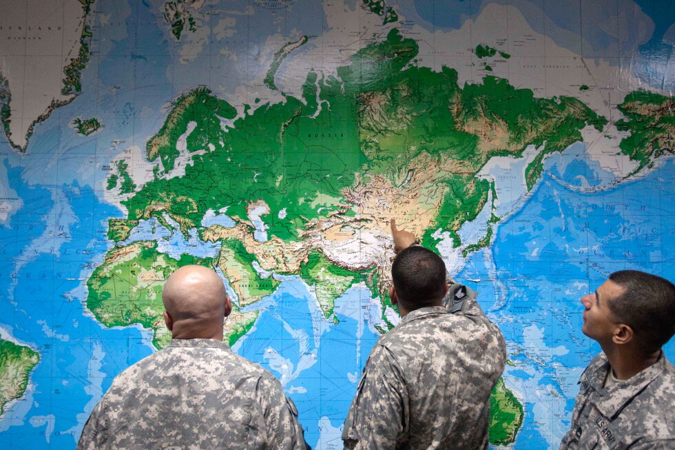
The push for a more accurate map began with the African Union and was supported by advocacy groups like Africa No Filter. The Mercator projection, designed by Flemish cartographer Gerardus Mercator in the 16th century, has long been criticized for distorting the size of landmasses, particularly shrinking Africa and South America while enlarging regions near the poles such as North America and Greenland.
The Equal Earth Projection
The Equal Earth projection, introduced in 2018, follows the Earth’s curvature and aims to show continents in their true proportions. Unlike the Mercator projection, which has been the standard for centuries, the Equal Earth map is designed to be more geographically accurate. Advocates argue that it provides a more balanced view of the world, which is crucial for education and public understanding.
Resolution and Its Impact
Friday’s resolution, while not imposing a ban on the Mercator projection, encourages its replacement with the Equal Earth projection. The U.N. report emphasizes the importance of maps in shaping our understanding of the world, guiding education, and influencing collective perceptions. French Foreign Minister Jean-Noël Barrot highlighted the symbolic importance of the resolution, stating, 'Changing the map obviously doesn’t change the world. But correcting a representation that distorts it is already an act of truth.'
(With inputs from AP)
Originally published on abcnews.com.np.



प्रतिक्रिया दिनुहोस्